[:nl]Onze diensten[:en]Our services
- Multispectral imagery & analysis: 'Smart Farming' data, classification of materials, zonal statistics
- Geographic data & 3D-maps: volume calculations and stockpiling, surveys and facade scans, ...
- Geographic orthomosaics, DSM / DTM: cartography in GIS
- Precision agriculture: weed detection, counting crop species, prescription task-maps, ...
- Thermal mapping & imagery: roofs and facades of buildings, solar panel inspections, ...
- Didex also processes external data of camera types and sensors not listed on this site
-
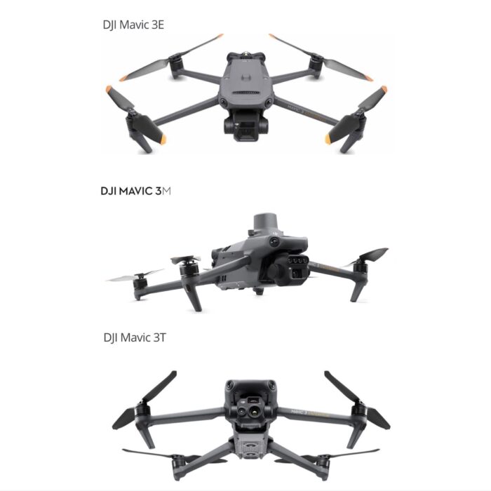
DJI Mavic 3 Enterprise Series
- RGB, Multispectral & Thermal sensors
- RTK combined with GNSS GCP's: centimeter-level accuracy
- Output processed in GIS layers: RGB, Multispectral & Thermal
- Processing in Pix4Dmapper, Pix4Dfields, Global Mapper, QGIS, ...
- European class C2 certification in progress
-
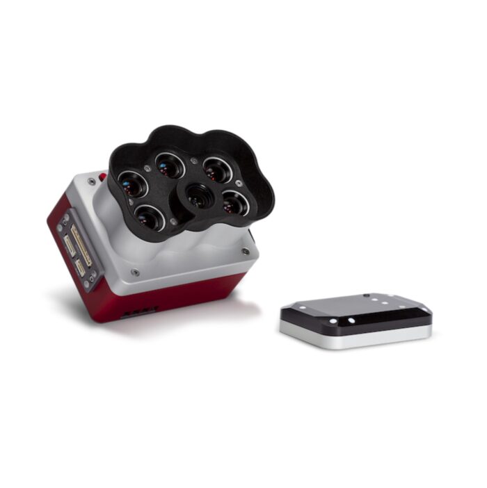
Multispectral Camera MicaSense RedEdge-P
- Panchromatic sensor = twice the spatial resolution
- 5 spectral bands: blue, green, red, rededge, nir
- DLS 2 lightsensor for continuously calibrated images
- Processing in Pix4Dmapper, Pix4Dfields, Global Mapper, QGIS, ...
Cases
-
AgEagle/Didex: case study 'Capturing multispectral data in changing environments'
Download file (pdf) -
Didex: Agriculture, horticulture and forestry services
Download file (pdf) -
Thermal scan with drones
Download file (pdf) -
Material recognition with spectral measurements
Download file (pdf)